www.2e-images.co.uk
![]() 2E
Images Photography and Local History
2E
Images Photography and Local History
www.2e-images.co.uk
![]()
| Contents
Page
All photographs on these pages are the property of the photographer Brian Tuohey. They may not be re-published in any form without written permission, but may be downloaded for personal use. Requests for commercial or charitable use of these or any other photographs will be considered. Please do not link directly to pictures, but links to this page are welcome.
|
Wirral,
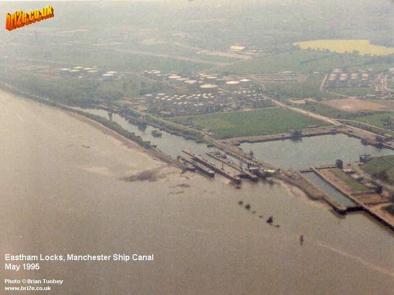
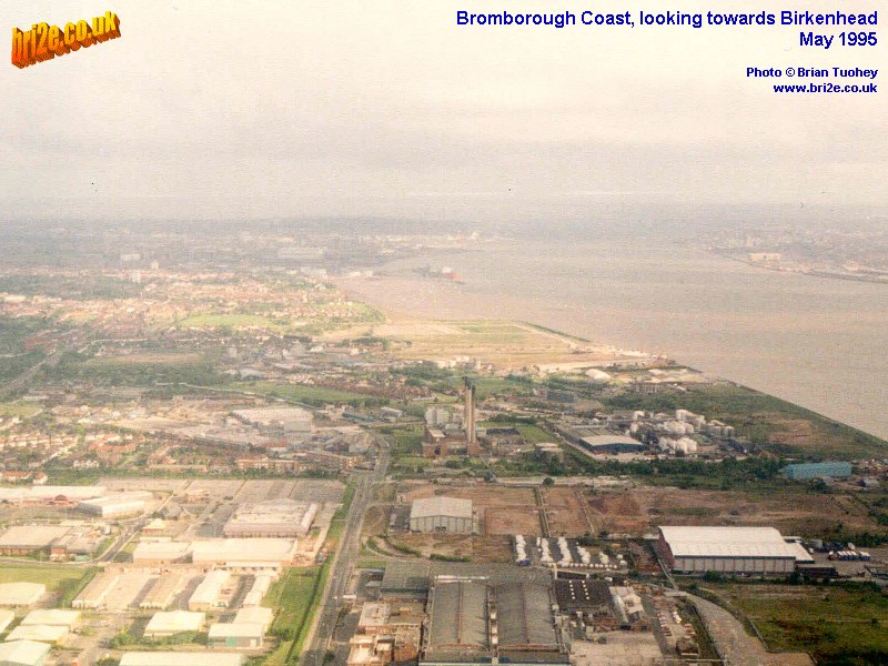
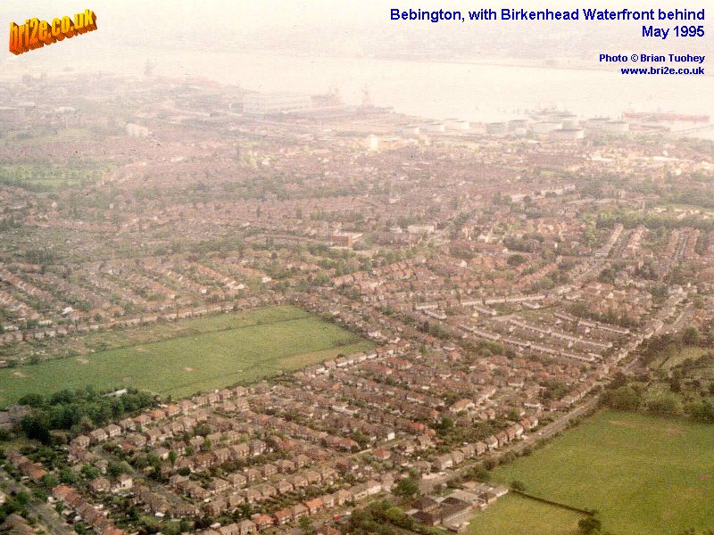
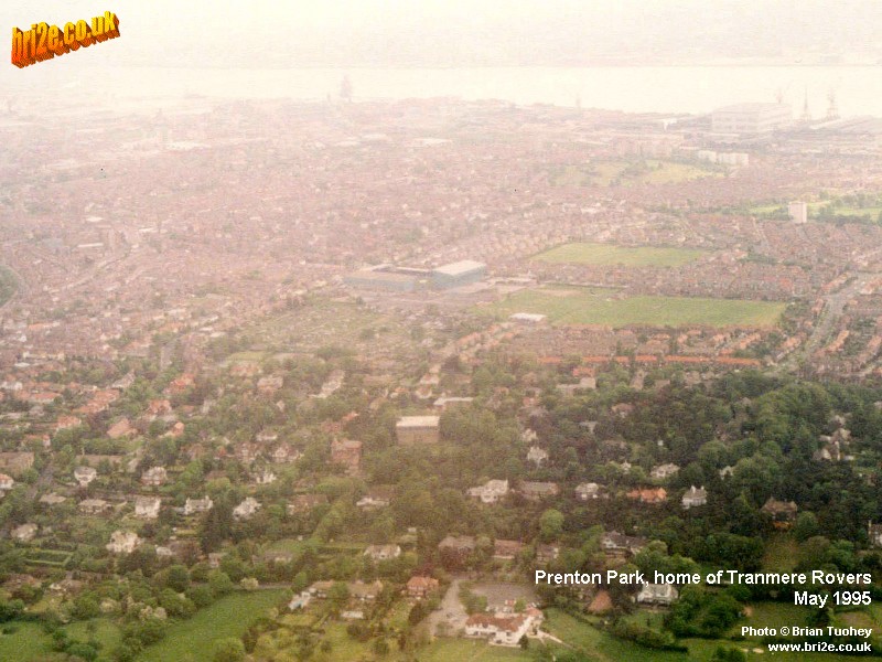
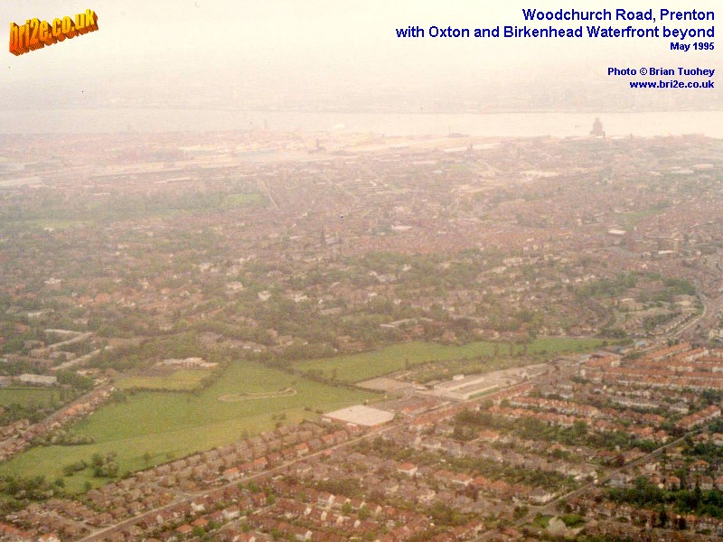
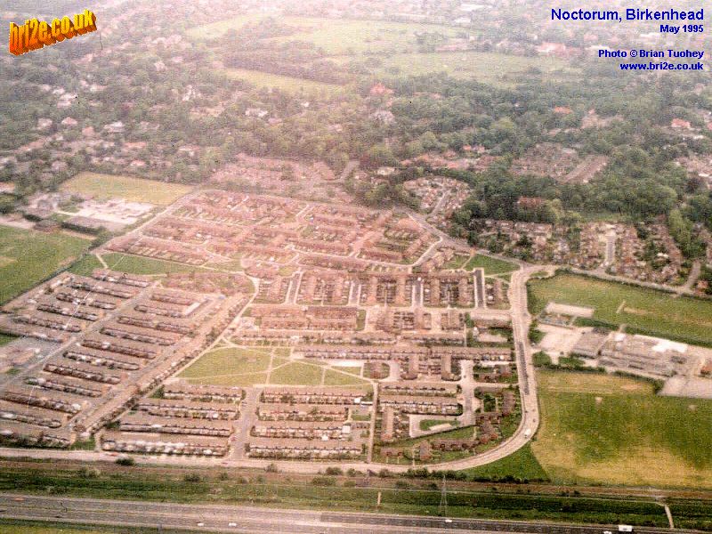
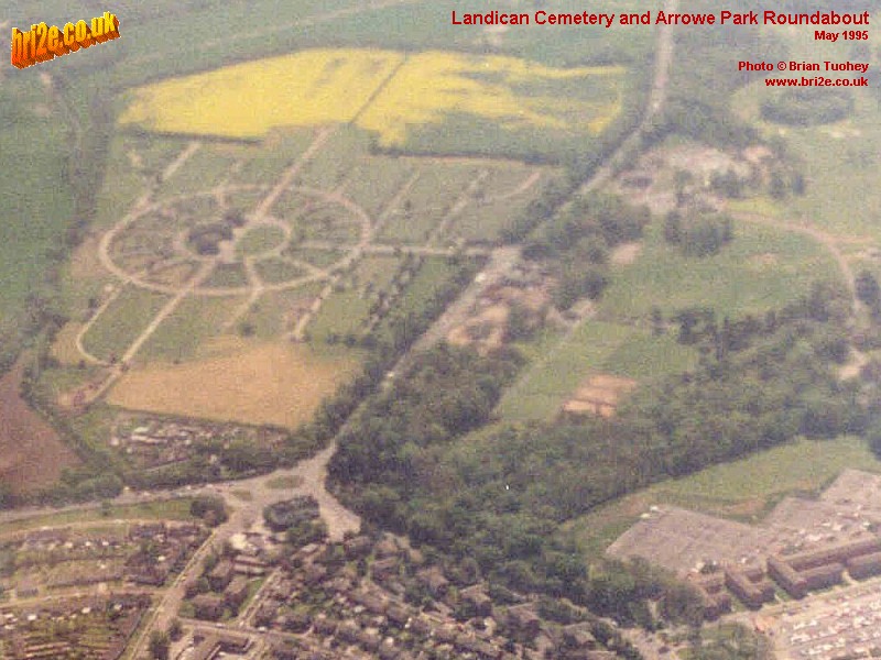
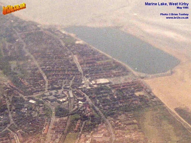
Aerial Photographs Back in 1995, I was part of a group of 6 runners from Warrington running clubs who were invited to represent the borough and Colin Parry's peace initiative, then known as The Warrington Project, by running in the Belfast Marathon. The event was particularly memorable for me for many different reasons, not least of which was that I achieved my lifetime personal best time of 2:57:50, finishing in 61st position. We flew from Liverpool to Belfast and in doing so, took off across the Mersey then flew diagonally over the Wirral Peninsula, from Eastham on the banks of the Mersey to West Kirby on the Dee estuary. Knowing the Wirral area well, I took full advantage by taking several pictures on both the outward and return journeys. Some of them are published on this page. A few technical notes on the pictures: All were taken with a 50 mm lens. These images were scanned from the original 7 x 5 inch prints at 300 dpi and have been enhanced, cropped, resized to 800 x 600 pixels, and quality-adjusted to about 140 KB. Each picture opens in a new browser window.
|
||||||||||
|
Updated 26/05/11 |
|