www.2e-images.co.uk
![]() 2E
Images Photography and Local History
2E
Images Photography and Local History
www.2e-images.co.uk
![]()
| Contents
Page
Encounter All photographs on these pages are the property of the photographer Brian Tuohey. They may not be re-published in any form without written permission, but may be downloaded for personal use. Requests for commercial or charitable use of these or any other photographs will be considered. Please do not link directly to pictures, but links to this page are welcome. |
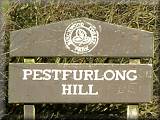
Pestfurlong
Hill Views South across Cheshire | East towards Manchester | The Pennines in the North | On the Hill
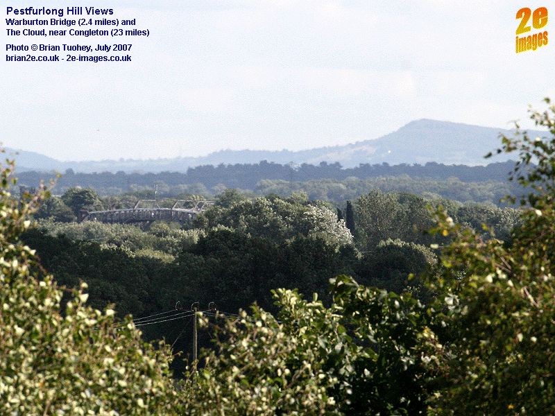
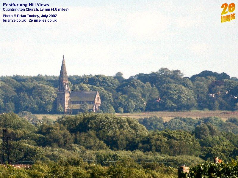
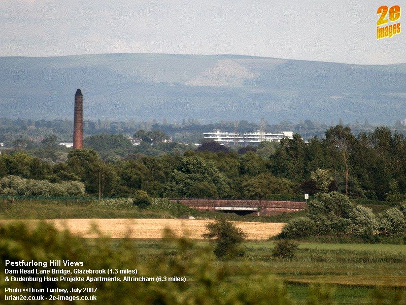
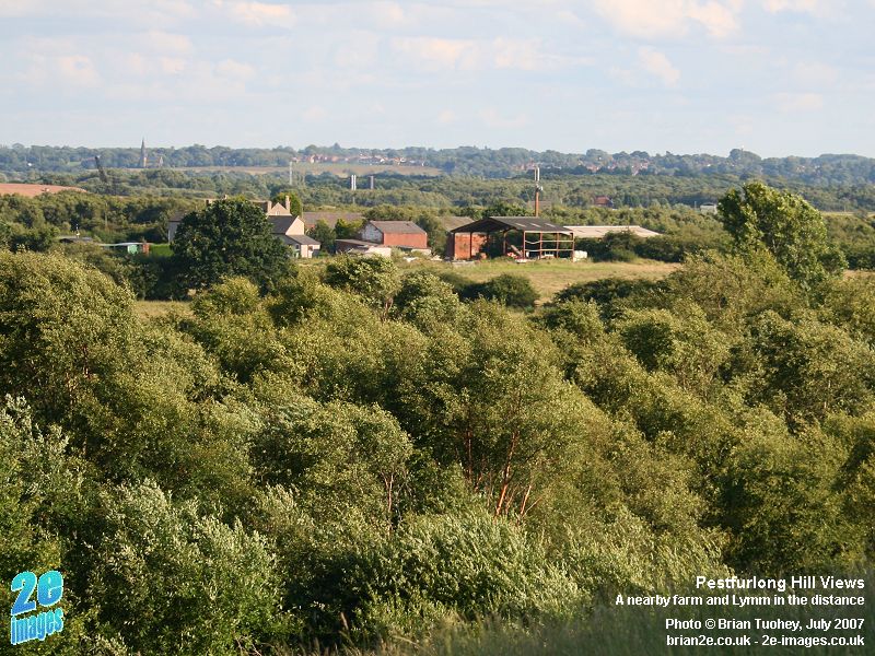
Pestfurlong is an unusual name, but it goes back many centuries. Most of modern day Birchwood was once part of the township of Culcheth. At one point the township was divided by the landowner into 4 sub-districts, Risley in the south, Culcheth in the north, and the middle section was divided east (Holcroft) and west (Pestfurlong). Over the centuries and even within the last 100 years, the spelling has varied and includes Peasfurlong and Pesfurlong. The 1:10,560 OS map edition of 1908 uses Pesfurlong, but a later edition (revision of 1926 with additions in 1947-48) uses the current Pestfurlong. Many of the photos, particularly those that feature distant objects, were taken using a long lens and high resolution (up to 10 megapixels). With extensive cropping afterwards, they focus on a very small field of view, so if you are hoping to see the same sort of detail if you visit Pestfurlong Hill, a good pair of binoculars will certainly help. Most of the views were taken on 2 weekends during July 2007. One of the days was much warmer and there was a slight haze which can be seen in some of the long distance photos.
Looking South across Cheshire In order from left to right, these photos show:
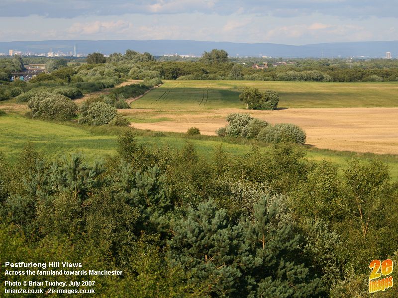
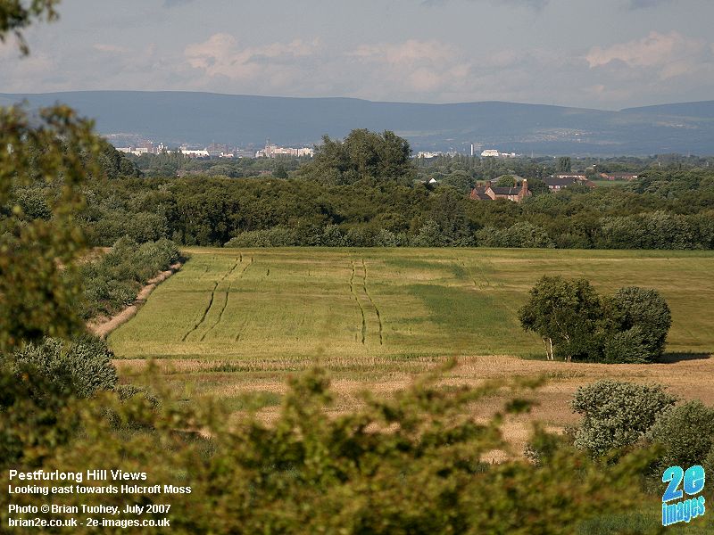
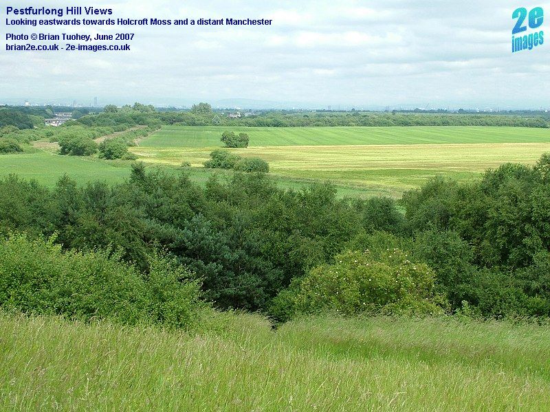
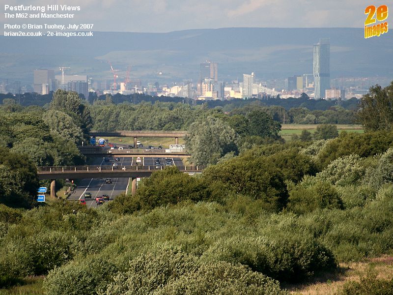
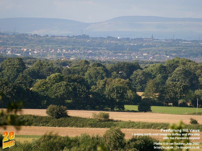
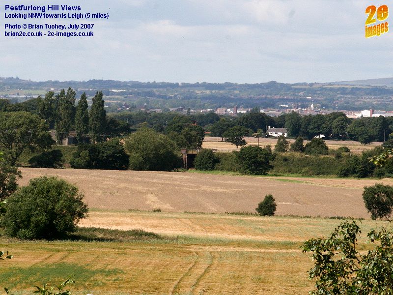
Eastwards towards Manchester The first four pictures are looking across the fields just to the east of Pestfurlong Hill. The trees at the far end of the fields are Holcroft Moss, managed by Cheshire Wildlife Trust. Just in front of the line of the trees, the old railway line from Glazebrook via Newchurch and Culcheth to Wigan used to run. The old trackbed marks the eastern boundary of Birchwood. The farm fields, now within Birchwood, were once part of Holcroft Moss.
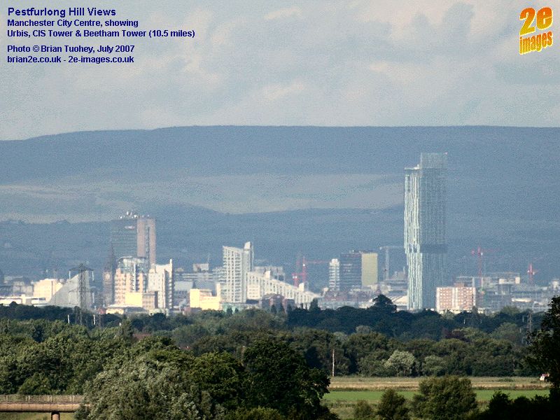
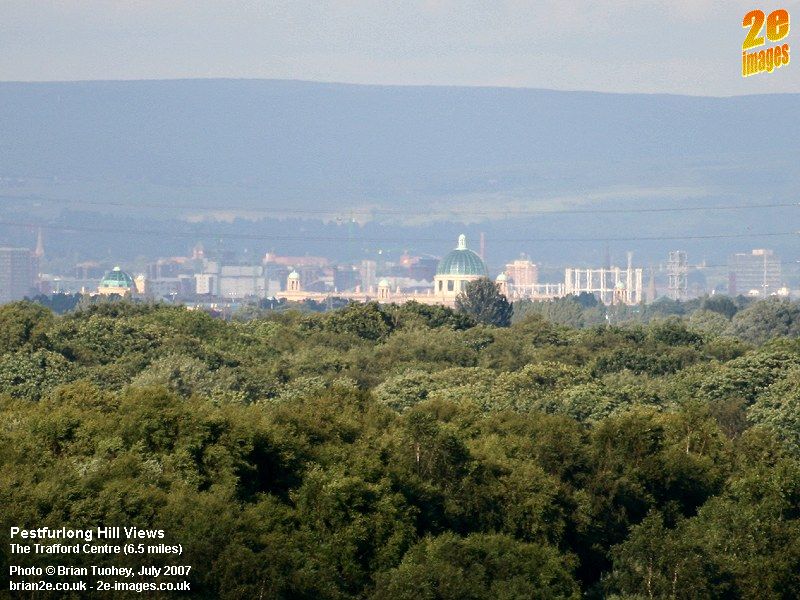
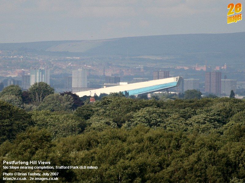
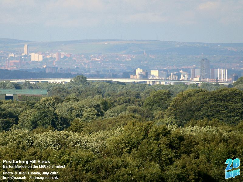
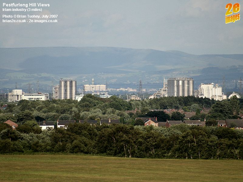
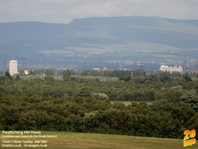
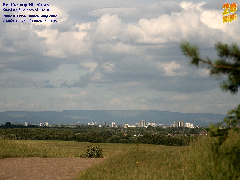
With more extreme zooming and cropping I was surprised just how close Manchester looked. The new Beetham Tower in the first two pictures is 10.5 miles away. The subjects of the next three photos, all in or around Trafford Park, are just over half that distance. They show the Trafford Centre with its main central dome clearly visible, the new ski slope Chill Factor nearing completion and the Barton Bridge viaduct on the M60. The final two photos in this series look towards Irlam, to the factories on the Northbank Industrial Park, which can also be seen in one of the photos above, and a view slightly to the north showing the distant Peak District.
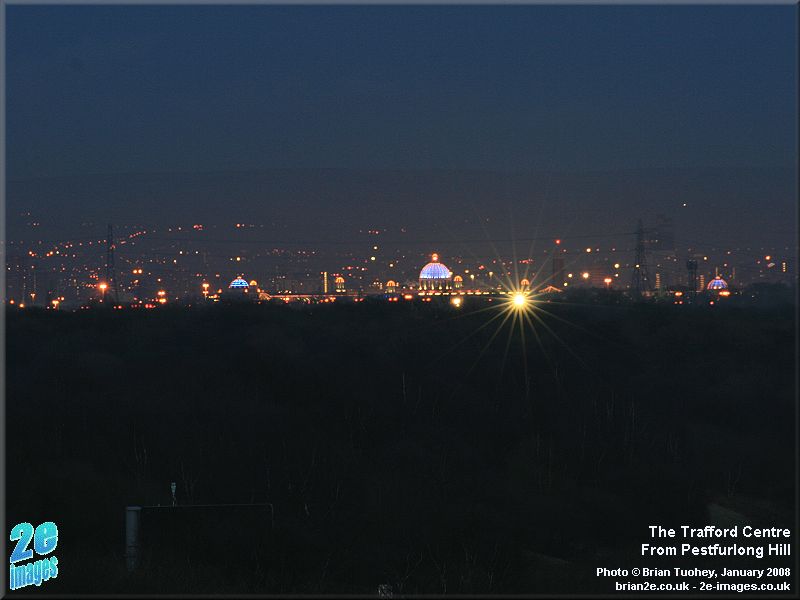
Some winter evening shots of the same area taken in January 2008, showing the Beetham Tower and M62, the Trafford Centre and the Chill Factor ski slope and Barton Bridge on the M60.
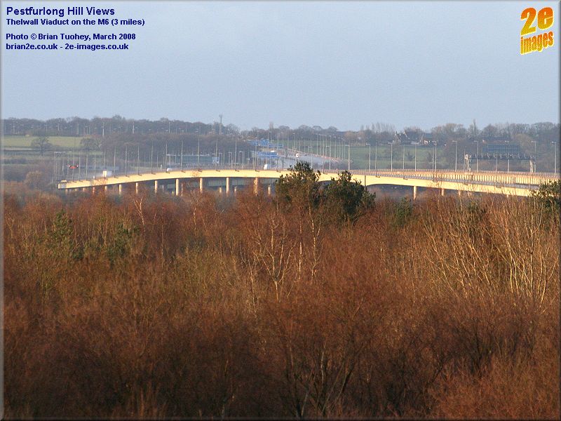
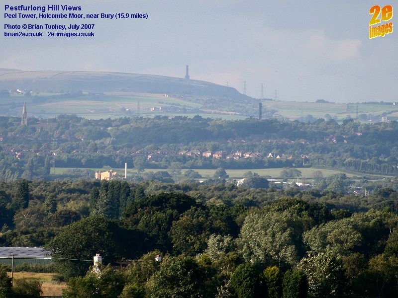
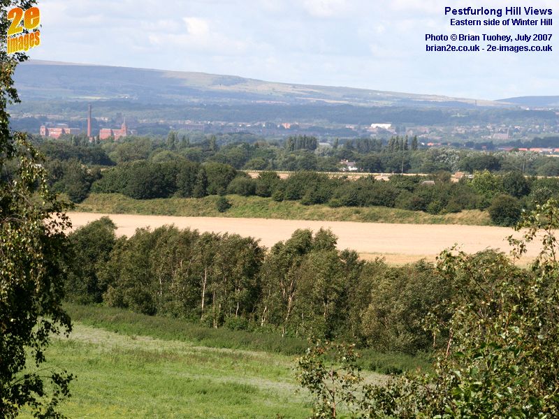
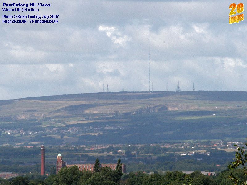
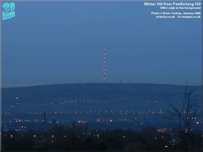
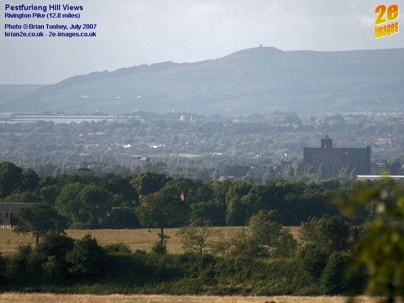
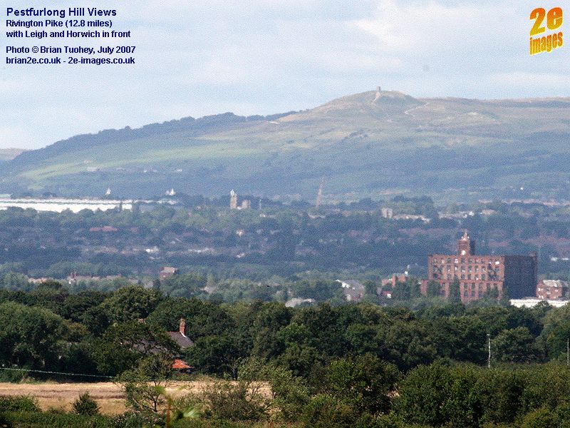
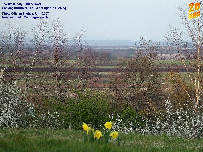
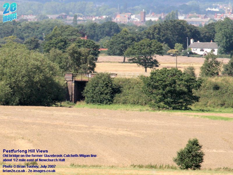
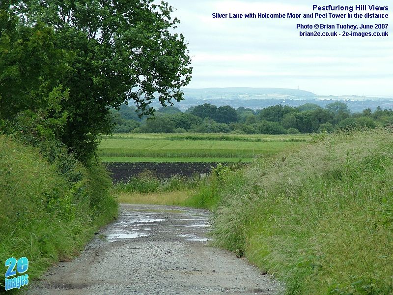
The Pennines in the North The first two photos are looking north east towards the Pennines. Peel Tower on Holcombe Moor near Bury can clearly be seen. The next six photos show Winter Hill, one showing the top of the hill with all of its masts, followed by a similar dusk view, and two with similar views of Rivington Pike, but with quite different lighting. To the west of the hill, the land is lower lying as can be seen in the 8th photo. The final picture concentrates on a detail that can be seen in the previous one, an old railway bridge that takes a farm track under the old line from Glazebrook to Wigan. The bridge is about half a mile east of the former Newchurch Halt. At this point, the position of the old line forms the boundary between Croft and Culcheth. South of the M62, the old line marks the eastern boundary of Birchwood.
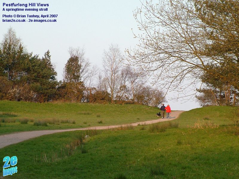
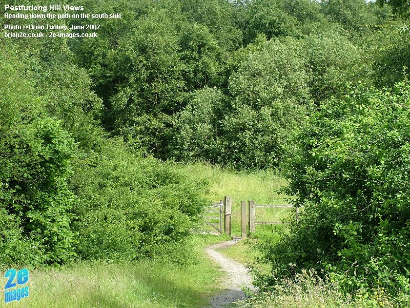
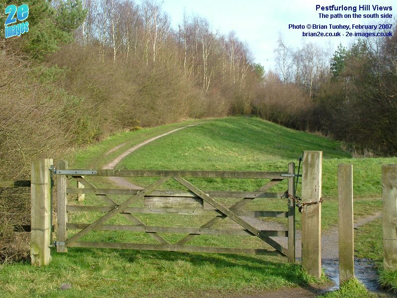
On and around Pestfurlong Hill The first set of pictures shows some of the paths on the hill, firstly leading up to the top, then reaching the brow and finally on the path along the south side.
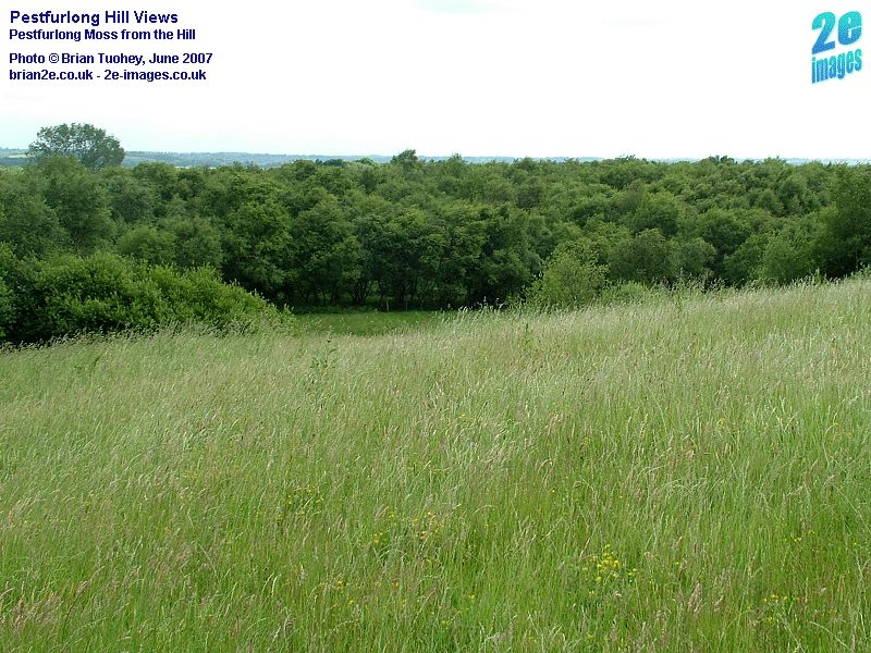
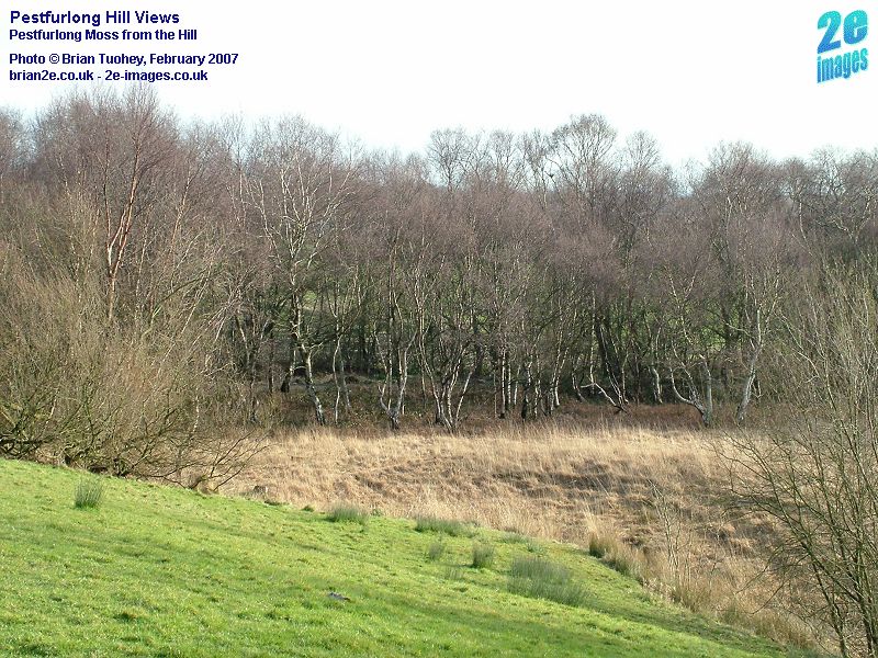
Immediately to the south of the hill is an area shown on modern maps as Pestfurlong Moss. It is a small area of open space and woodland with water courses. Two photos of the moss as seen from Pestfurlong Hill are shown below. Pestfurlong Moss was also marked on old maps, but not quite in the same area. It was shown as being north of what is now the M62. Moss Side Farm, now on the landfill site, was adjacent to Pestfurlong Moss. This is also consistent with the district boundaries within the old Culcheth township. Pestfurlong Hill straddles the old district boundaries. Pestfurlong was to the north and Risley to the south.
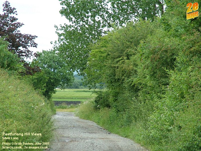
Skirting the hill to the north and the east is a farm track. As a road, it is private, being used only for farm traffic, but it is also a footpath linking Birchwood with Hollins Green and Glazebrook. The northern end of the lane, Silver Lane, was originally created as a diversion when the Royal Ordnance Factory was built, to link with the existing Silver Lane from Risley village. The lane from Glazebrook is School Lane and originally continued through what is now Gorse Covert, also leading to Risley village, going past Old Hall and Woods End farms, both of which were lost when the factory was built. The school in Risley stood on the site now occupied by the main roundabout at the junction of Warrington Road with Birchwood Park Avenue and Daten Avenue. Silver Lane was diverted further when the final parts of Gorse Covert were built.
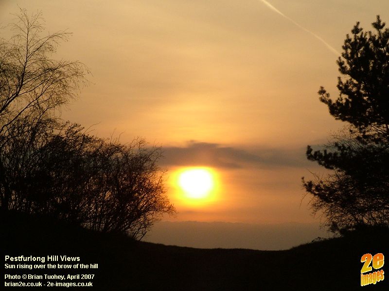
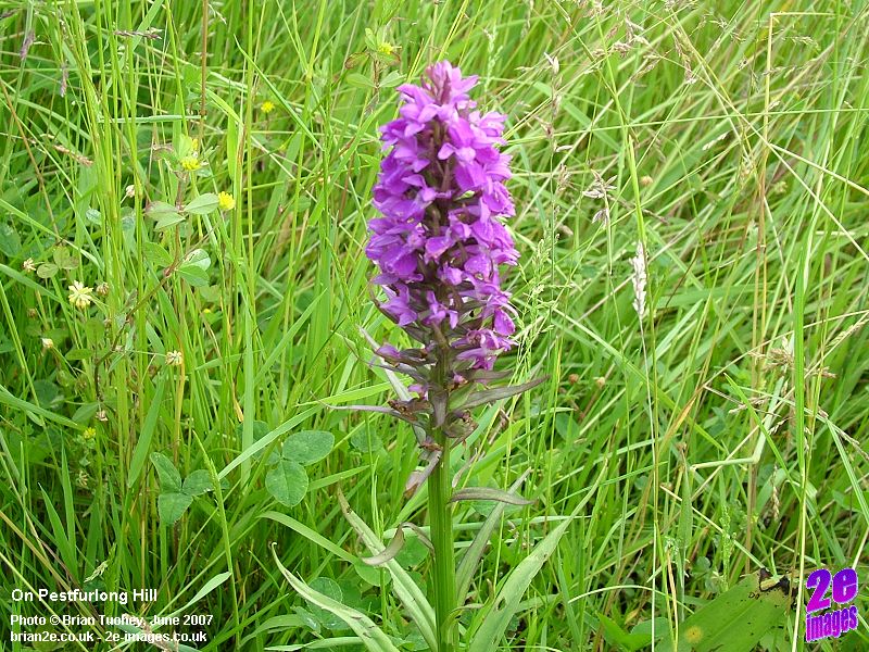
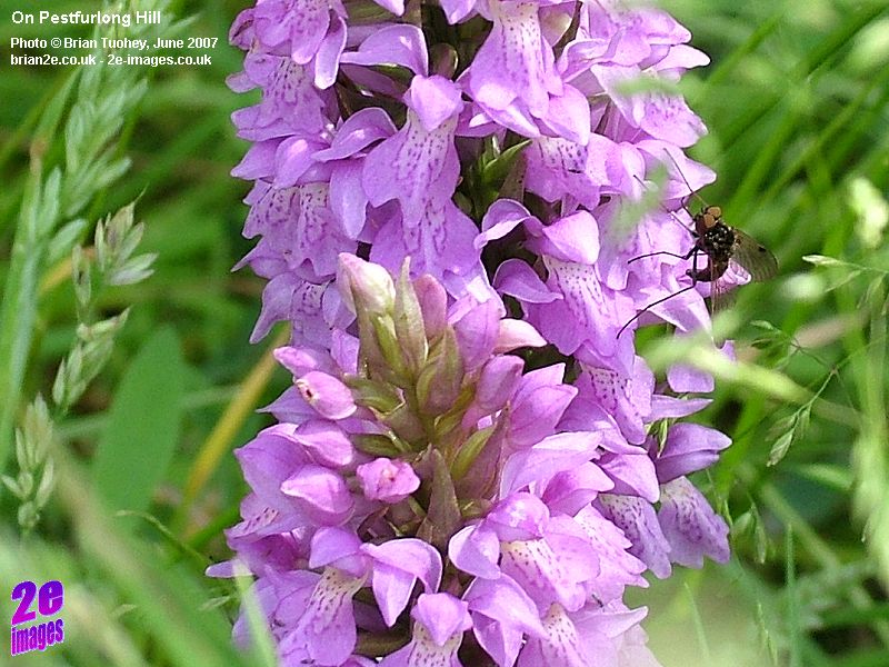
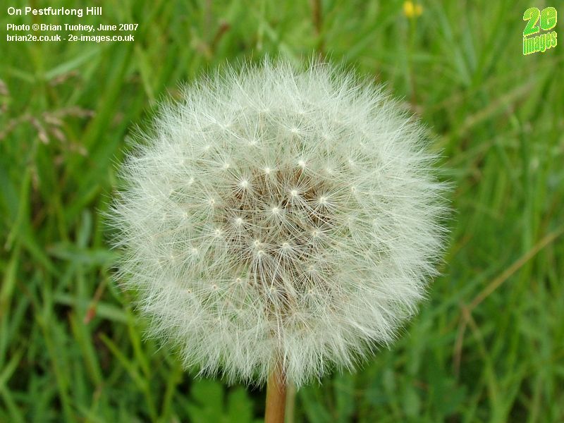
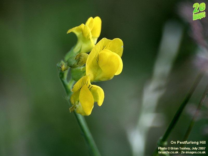
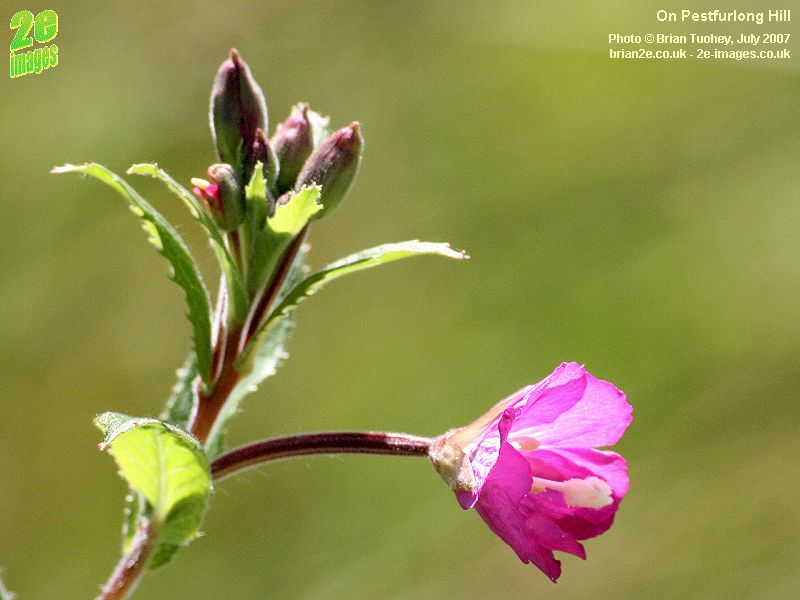
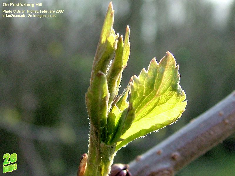
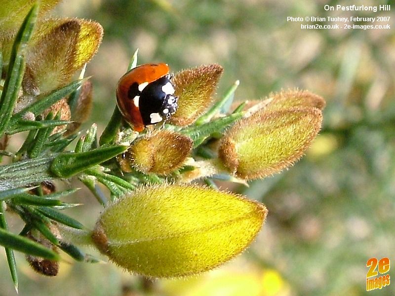
The final pictures on this page were all taken on Pestfurlong Hill.
|
|
Updated 11/10/11 |
|
 Pestfurlong Hill is probably the highest point in
Birchwood. It is man-made, having been constructed during the demolition
of the old Risley Royal Ordnance Factory as the area was being prepared for
development into the district we now know as Birchwood. The Hill is just
outside of what was the old factory boundary at its north eastern corner.
In modern day terms, it is next to the M62 motorway, immediately south east of
Junction 11. Whilst not particularly high, much of the surrounding land is
low and flat, affording excellent views on 3 sides, north, east and south.
Immediately to the west is an area known as Gorse Covert Mounds, an open and
wooded area managed by the Woodland Trust. With the photos on this page, I have tried to capture a flavour of what can be
seen on a clear day and finishing with some pictures of the hill itself and the
area just around it.
Pestfurlong Hill is probably the highest point in
Birchwood. It is man-made, having been constructed during the demolition
of the old Risley Royal Ordnance Factory as the area was being prepared for
development into the district we now know as Birchwood. The Hill is just
outside of what was the old factory boundary at its north eastern corner.
In modern day terms, it is next to the M62 motorway, immediately south east of
Junction 11. Whilst not particularly high, much of the surrounding land is
low and flat, affording excellent views on 3 sides, north, east and south.
Immediately to the west is an area known as Gorse Covert Mounds, an open and
wooded area managed by the Woodland Trust. With the photos on this page, I have tried to capture a flavour of what can be
seen on a clear day and finishing with some pictures of the hill itself and the
area just around it.